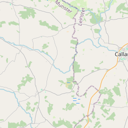
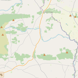
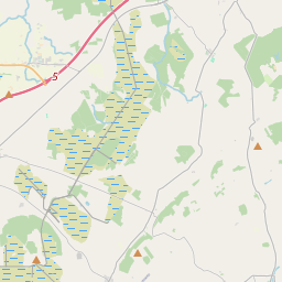
Based on data in OpenStreetMap, here is a list of townlands in the Electoral Division / ED / District Electoral Division of Coolaghmore.
Coolaghmore is in Co.
Coolaghmore is not matched up to Logainm.ie yet.
Léarscáil
It is located at 52° 29' 20" N, 7° 24' 26" W.


Leaflet | Map data © OpenStreetMap contributors
Achar
Coolaghmore has an area of 26.0 km² / 6,434.2 acres / 10.1 square miles.
Ceannbhailte
There are 24 townlands that we know about in . This represents 100% of all the area in .
- Coill an Bhuitléaraigh 472 A, 2 R, 5 P
- Clais an Bheithe 147 A, 3 R, 1 P
- Cuailleach na Leac 106 A, 1 R, 29 P
- An Chuailleach Mhór 431 A, 2 R, 23 P
- An Cruán 224 A, 1 R, 9 P
- An Currach 60 A, 0 R, 31 P
- Fearann an Fhraoigh 74 A, 3 R, 32 P
- Garrán Mhic Anraic 434 A, 3 R, 12 P
- An Garrán 161 A, 3 R, 24 P
- Garraí Ricín 1067 A, 2 R, 22 P
- Garraí Thomáisín 150 A, 1 R, 3 P
- An Ghráig 338 A, 2 R, 31 P
- Cill Lamraí 611 A, 1 R, 15 P
- Cill tSalcháin 179 A, 2 R, 10 P
- Cnoc Butúin 59 A, 2 R, 19 P
- An Chill Thoir 184 A, 0 R, 2 P
- An Chill Thiar 223 A, 0 R, 39 P
- Baile Uí Mheantáin 80 A, 1 R, 31 P
- An Phollach 36 A, 1 R, 18 P
- Ros Con 282 A, 0 R, 0 P
- An Screathán 282 A, 3 R, 24 P
- An Seisceann 293 A, 3 R, 32 P
- Bóthar an tSamhraidh 105 A, 1 R, 11 P
- An Trinse Mór 424 A, 0 R, 31 P
 OpenStreetMap
Coolaghmore was added to OpenStreetMap on 23 Lún 2016 by Teester.
- View
- Edit

 JOSM
JOSM iD
iD