Based on data in OpenStreetMap, here is a list of townlands in the Electoral Division / ED / District Electoral Division of Sraheen.
Sraheen is in Co.
Sraheen is not matched up to Logainm.ie yet.
Léarscáil
It is located at 53° 59' 30" N, 9° 9' 28" W.

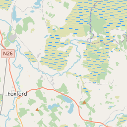
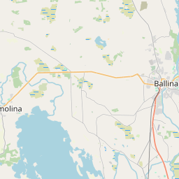
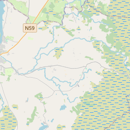
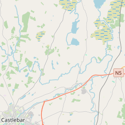
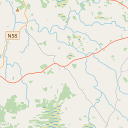
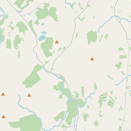
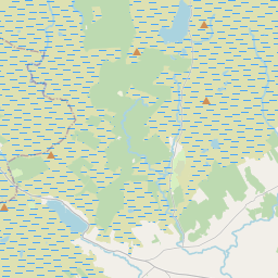
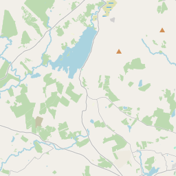
Leaflet | Map data © OpenStreetMap contributors
Achar
Sraheen has an area of 26.3 km² / 6,505.7 acres / 10.2 square miles.
Ceannbhailte
There are 18 townlands that we know about in . This represents 72.4% of all the area in .
- Béal Easa 387 A, 2 R, 10 P
- An tOileán Dóite 13 A, 3 R, 21 P
- Oileán Alla 6 A, 2 R, 27 P
- An Chlasach Rua 279 A, 1 R, 27 P
- Corr Lomáin 501 A, 3 R, 2 P
- Cuingbeg 357 A, 3 R, 32 P
- Cuingmore 255 A, 3 R, 14 P
- Doire Dhamhraí 261 A, 0 R, 10 P
- Doire na gCran 179 A, 1 R, 29 P
- An Dromainn 259 A, 3 R, 18 P
- Goirtín na Muc 200 A, 3 R, 11 P
- Griffins Island 2 A, 0 R, 7 P
- Oileán na Glaise 99 A, 1 R, 3 P
- An Seanmhás Mór 328 A, 1 R, 12 P
- An Srath 177 A, 3 R, 25 P
- An Sraithín 675 A, 3 R, 23 P
- Halla na Cloiche 241 A, 1 R, 34 P
- An Tamhnach Mhór 479 A, 1 R, 1 P
 OpenStreetMap
Sraheen was added to OpenStreetMap on 29 Márta 2016 by NoelB.
- View
- Edit