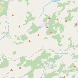
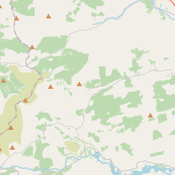
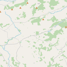
Based on data in OpenStreetMap, here is a list of townlands in the Electoral Division / ED / District Electoral Division of Dunmanway North.
Dunmanway North is in Co.
Dunmanway North is not matched up to Logainm.ie yet.
Léarscáil
It is located at 51° 44' 15" N, 9° 8' 11" W.


Leaflet | Map data © OpenStreetMap contributors
Achar
Dunmanway North has an area of 22.3 km² / 5,503.5 acres / 8.6 square miles.
Ceannbhailte
There are 15 townlands that we know about in . This represents 100% of all the area in .
- Cluainte Uí Chuirc 272 A, 0 R, 12 P
- Cúil Sneachtaigh 615 A, 2 R, 0 P
- An Com 453 A, 2 R, 34 P
- Cuar Uí Choileáin 201 A, 3 R, 19 P
- An Choil Dorcha 70 A, 0 R, 4 P
- An Diméin 278 A, 2 R, 25 P
- Na Doiríní 368 A, 0 R, 5 P
- Doire Leathan 503 A, 1 R, 17 P
- Doire na Sámhthach 416 A, 2 R, 24 P
- Drom Líne 694 A, 1 R, 36 P
- Dún Mánmhaí Thuaidh 341 A, 2 R, 38 P
- Inse an Doirín 233 A, 3 R, 30 P
- An Inse Riabhach 301 A, 0 R, 9 P
- Na Mealla Breaca 335 A, 1 R, 1 P
- Cluain Loinge 417 A, 0 R, 19 P
 OpenStreetMap
Dunmanway North was added to OpenStreetMap on 19 Ean 2017 by Teester.
- View
- Edit

 JOSM
JOSM iD
iD